


Similar Items
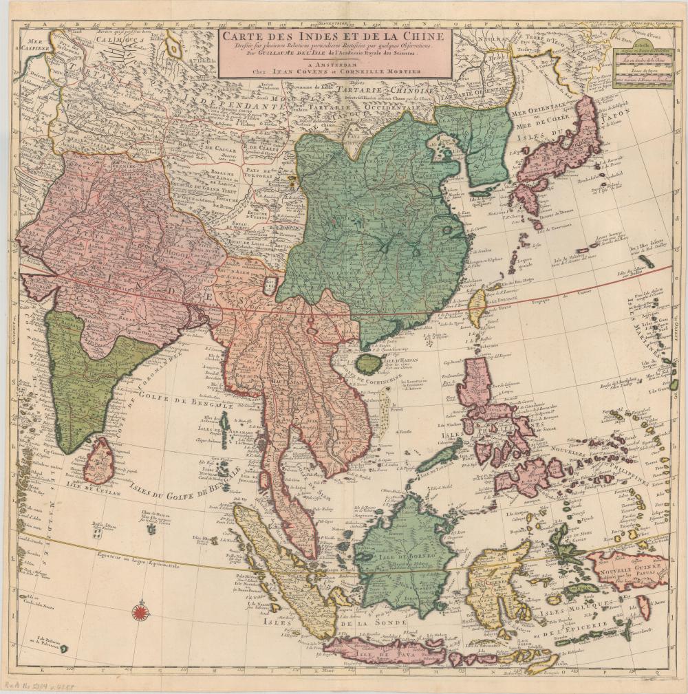
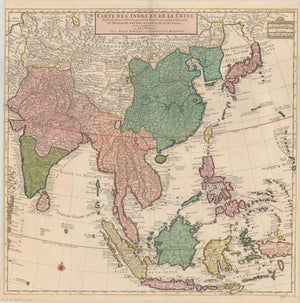
East Asia, South Asia, and Southeast Asia
Artwork Details
Dimensions:
65*64cm
Medium:
Paper
Artwork Description
Medium: Paper
Dimensions: 65*64cm
Condition: Good condition
Description:
This map, created by Delisle and Witches, dates to around 1730 and depicts East Asia, South Asia, and Southeast Asia. It features hand-colored details and is based on extensive European exploration of the region. The map highlights key trade routes across the mainland, the Philippines, and the East Indies, offering valuable insights into the geographical and economic relationships of the time. Notably, Japan is shown as being attached to the Asian continent under the name "Terre d'Yeco ou d'eso," and the Sea of Japan is labeled in both Eastern and European contexts. South Korea is also prominently represented. This large and captivating map is an essential artifact from the era of early global exploration, showcasing both the intricacies of the region and the expanding knowledge of European cartographers.