


Similar Items
Maps of China and South Korea
Artwork Details
Dimensions:
48*36cm
Medium:
Paper
Artwork Description
Medium: Paper
Dimensions: 48 x 36 cm
Condition: Good condition
Description:
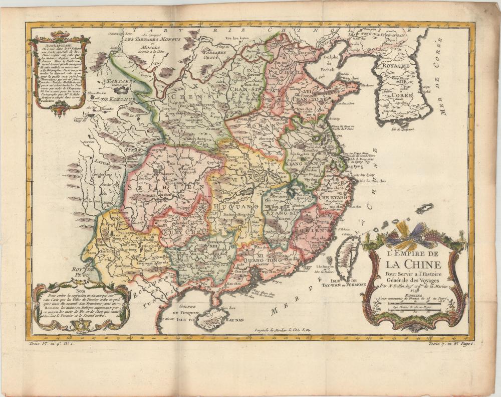
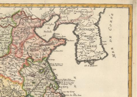
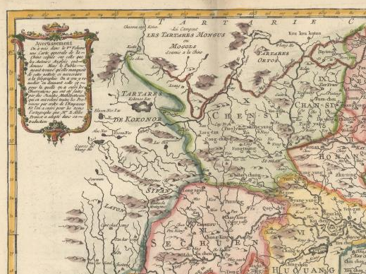
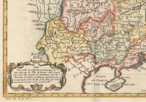
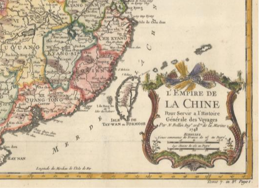
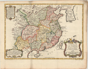
A beautifully detailed hand-colored map from the History of French Navigation (1748), illustrating the Chinese Empire and the Korean Peninsula. The map features major regions such as Guangdong, Nanjing, and Taiwan—referred to as "Taiwan O'Holmes Island"—and labels the Sea of Japan as "Mer de Corée." Towns are categorized and distinguished through Roman lettering for "first-order" towns and italics for "secondary" towns, with explanatory notes in the lower-left corner. This map, rich in geographical and historical detail, served to record voyages and exemplifies the cartographic artistry of the 18th century.