


Similar Items
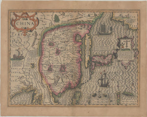
Maps of China, South Korea, and Japan
Artwork Details
Dimensions:
48 x 36 cm
Medium:
Paper
Artwork Description
Medium: Paper
Dimensions: 48 x 36 cm
Condition: Good condition
Description:
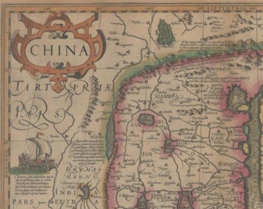
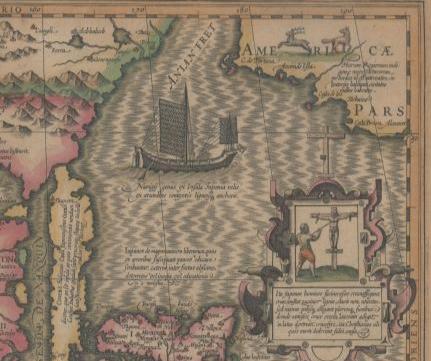
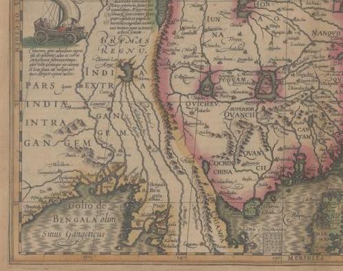
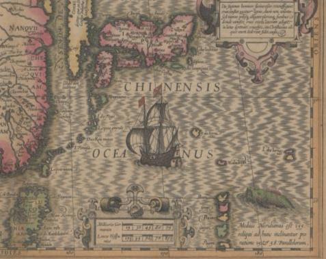
This map, created by Hondius and colored by hand, is a fascinating example of early 17th-century cartography. Part of the Atlas of the Universe (circa 1613), it offers a depiction of China, South Korea, and Japan based on the limited geographical knowledge of the time. South Korea is shown as a narrow, elongated island, while Japan is represented according to the Ortelius-Teixeira model, showcasing an early European understanding of its shape. The map includes China, where the interior is dominated by large mythic lakes, with Chiamai Lacus identified as the source of these lakes. At this time, much of the Chinese interior remained unknown, and the map reflects the blend of fact and myth typical of early exploration. The use of contemporary hand-coloring enhances the historical and artistic value of this map.